Inicio
CERRO SAN JAVIER HORCO MOLLE SAN MIGUEL DE TUCUMAN
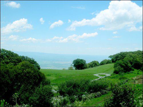
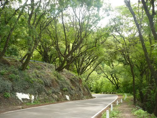
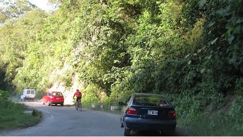
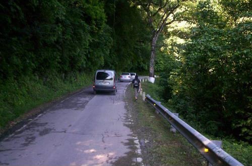
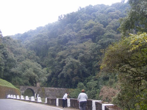
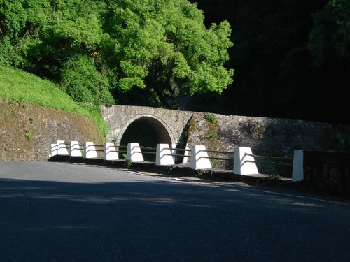
Camino de alta montaþa
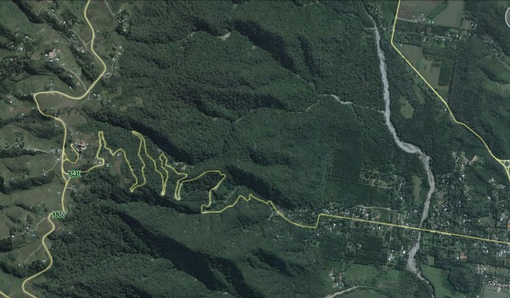
Estudio de campo. Trazado, Diseþo GeomÕtrico y Proyecto de una variante el camino existente entre
Cerro San Javier y Rotonda de Yerba Buena, San Miguel de TucumÃn.
Corresponde a caminos de alta montaþa, con vegetaciµn selvÃtica y faldeos a media ladera, con fuertes pendientes transversales.
Comprende muros de sostenimiento, obras de arte menores y mayores.
Responsables de Proyecto: Ings. Mauricio Vidret y Leonardo Castagnino
TopografÚa de alta montaþa.
Vegetaciµn: selvÃtica
Longitud: 17 km
Comitente: Direcciµn Provincial de Vialidad de TucumÃn
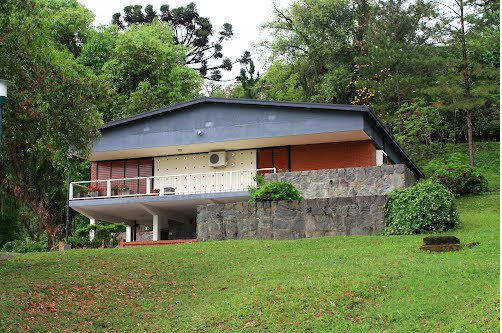
ImÃgenes de la obra construida 2012


Contacto
castagninoleonardo@yahoo.com.ar
Otros datos de Contacto
![]() Castagnino Ingenieria
Castagnino Ingenieria